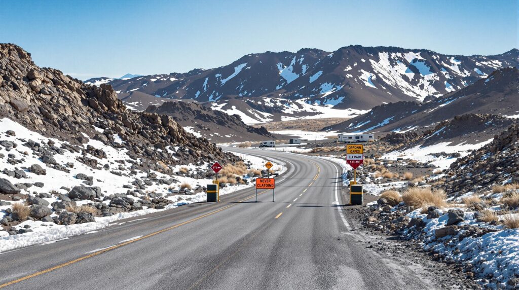
According to recent U.S. Army Corps of Engineers releases, multiple recreation areas at Millwood Lake and De Queen Lake were temporarily shut down in early April because of flooding.
Regions within Millwood Lake, including White Cliffs, Wilton Landing, Saratoga, Beard’s Lake, River Run East, River Run West Boat Ramp, and Beard’s Bluff, were among those affected. The Corps also listed Oak Grove Landing, Pine Ridge, Story Creek, Rolling Fork, and the lower loop at Bella Mine at De Queen Lake.
A public archive details these closures, indicating that the rainfall in early April led to high water levels. Officials acknowledged that conditions can shift rapidly, and they encouraged the public to remain updated.
Meanwhile, a region-wide flood watch was issued during this period, highlighting broader weather alerts around Arkansas and adjacent states. Administrators stressed the importance of caution for outdoor enthusiasts as water levels rose.
In previous years, various USACE-operated sites encountered significant storm impacts. Webb Creek Campground at Missouri’s Clearwater Lake closed indefinitely in March or April 2025, while ongoing erosion led to the permanent removal of Rocky Branch and Lost Bridge South swim beaches.
Arthur V. Ormond Lock and Toad Suck Ferry Lock were also subject to temporary shutdowns because of unsafe flows. A separate notice from the U.S. Army Corps of Engineers describes the closures due to elevated water conditions on its official site.
The National Climate Assessment reports approximately a 37 percent increase in extreme precipitation events in the southeastern United States over recent decades. Such spikes have repeatedly heightened flooding risks for vulnerable areas.
Some meteorological data show that multi-day weather patterns can produce more than 15 inches of rainfall across Kentucky, Arkansas, and Tennessee in short windows, echoing events seen in early April 10–14 of previous years.
To mitigate such disruptions, experts often recommend proactive infrastructure resilience measures. Elevating electrical panels, HVAC equipment, and other critical components above high-water lines can help amenities remain functional despite rising waters.
Campground operators also sometimes incorporate permeable surfaces or green landscaping features to encourage quick drainage. Alternative access routes can provide crucial entry and exit options if major paths become impassable when storm conditions worsen.
In the digital sphere, real-time alerts and social media notifications can better inform visitors about sudden closures. Regular online updates provide transparency, potentially boosting guest confidence during uncertain weather conditions.
Those concerned about long-term flood risk may consult FEMA Flood Insurance Rate Maps for precise classification data. The FEMA portal offers resources for individuals planning infrastructure changes or evaluating insurance needs.


 English (US) ·
  Spanish (ES) ·